Traffic, too much
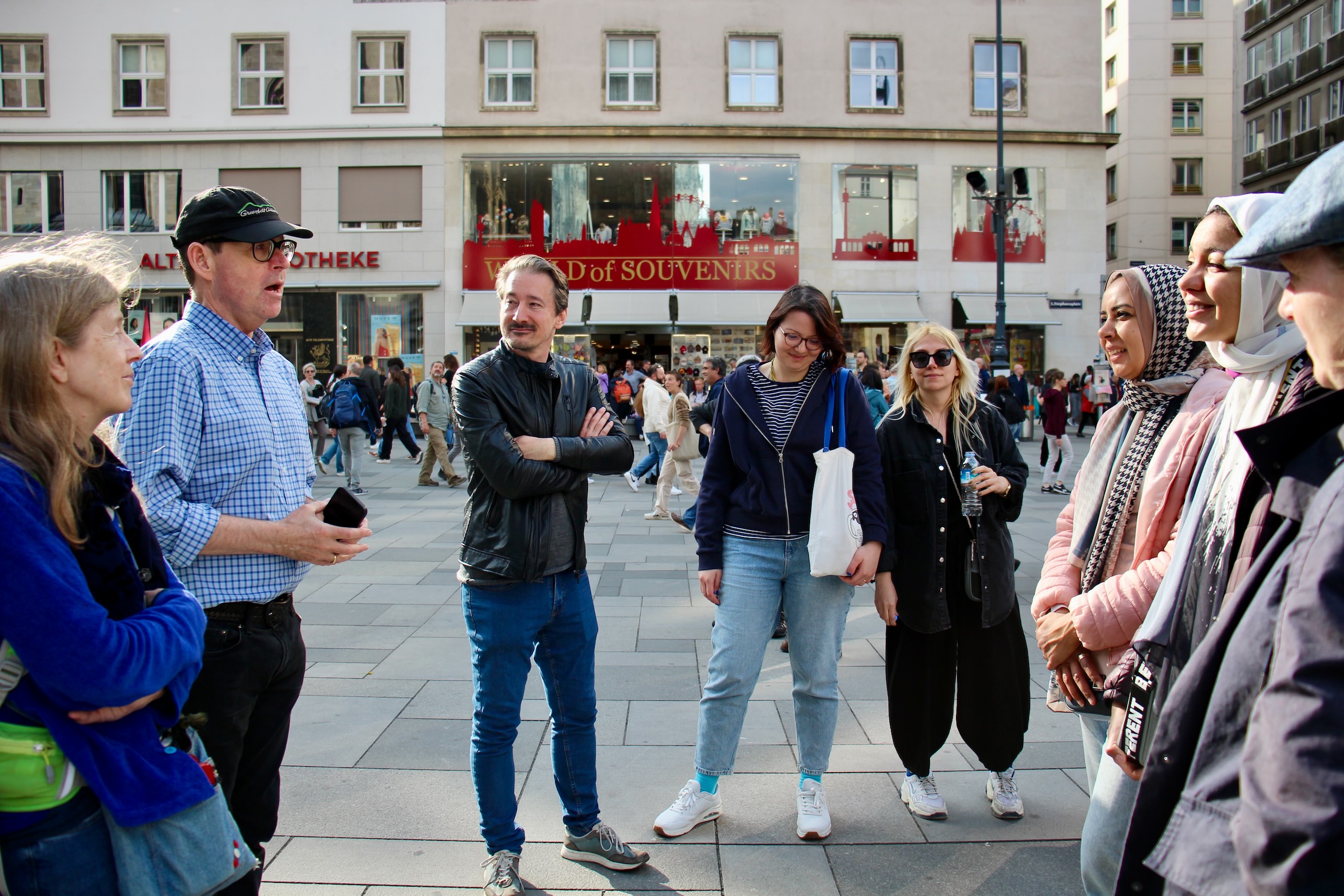
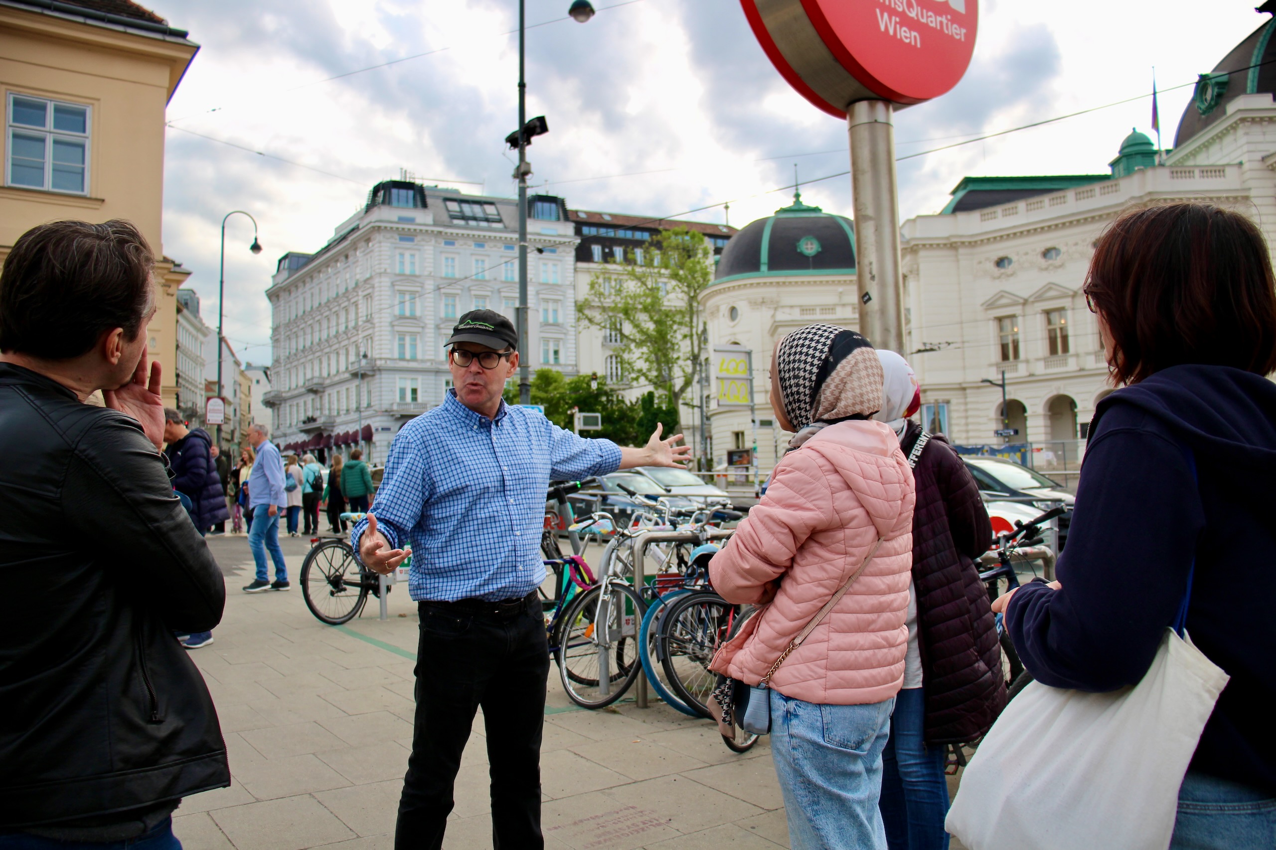
Walk Leader: Andy Nash
Datum: 6. Mai 2023
Beschreibung
One of Jane Jacobs’ main interests was taming traffic. When she wrote her masterpiece The Life and Death of Great American Cities, one of the most influential urban planning books of all time, the prevailing wisdom was that cities should be redesigned to facilitate automobile traffic. In practice this meant widening streets, building parking garages, and forcing freeways directly into the city centres.
She was among a small group of people who quickly recognised that these policies were destroying the intricate social and economic networks cities need by eliminating the personal interactions and spontaneous connections that happen on streets filled with pedestrians. Improvements designed for automobiles pushed pedestrians to the sidewalks, made cycling more dangerous, slowed public transport, and encouraged those rich enough for cars to leave.
Vienna wasn’t immune to this age of automobile focused planning. A freeway was planned through the Naschmarkt to Karlsplatz, the Ringstraße, Gürtel, and Zweierlinie were re-built to move more cars, parking was increased, and policies encouraging people to drive, like company cars and the Pendlerpauschal, were made law.
Like all great cities, residents of Vienna rose-up to fight the worst elements of auto-focused planning. They stopped the Naschmarkt Freeway. They stopped the freeway planned through Brigittenau after seeing the Floridsdorfer Brucke, part of the original plan.
But the fight for sensible transport planning continues and it’s intensely political – as we see with the Stadtstraße, Lobau Tunnel, Vienna’s pitiful cycling network, and the battle in every neighbourhood against removing a few parking spaces – despite Vienna’s progressive political image.
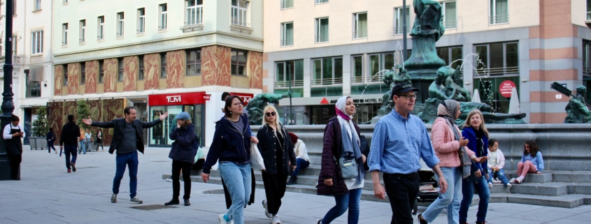
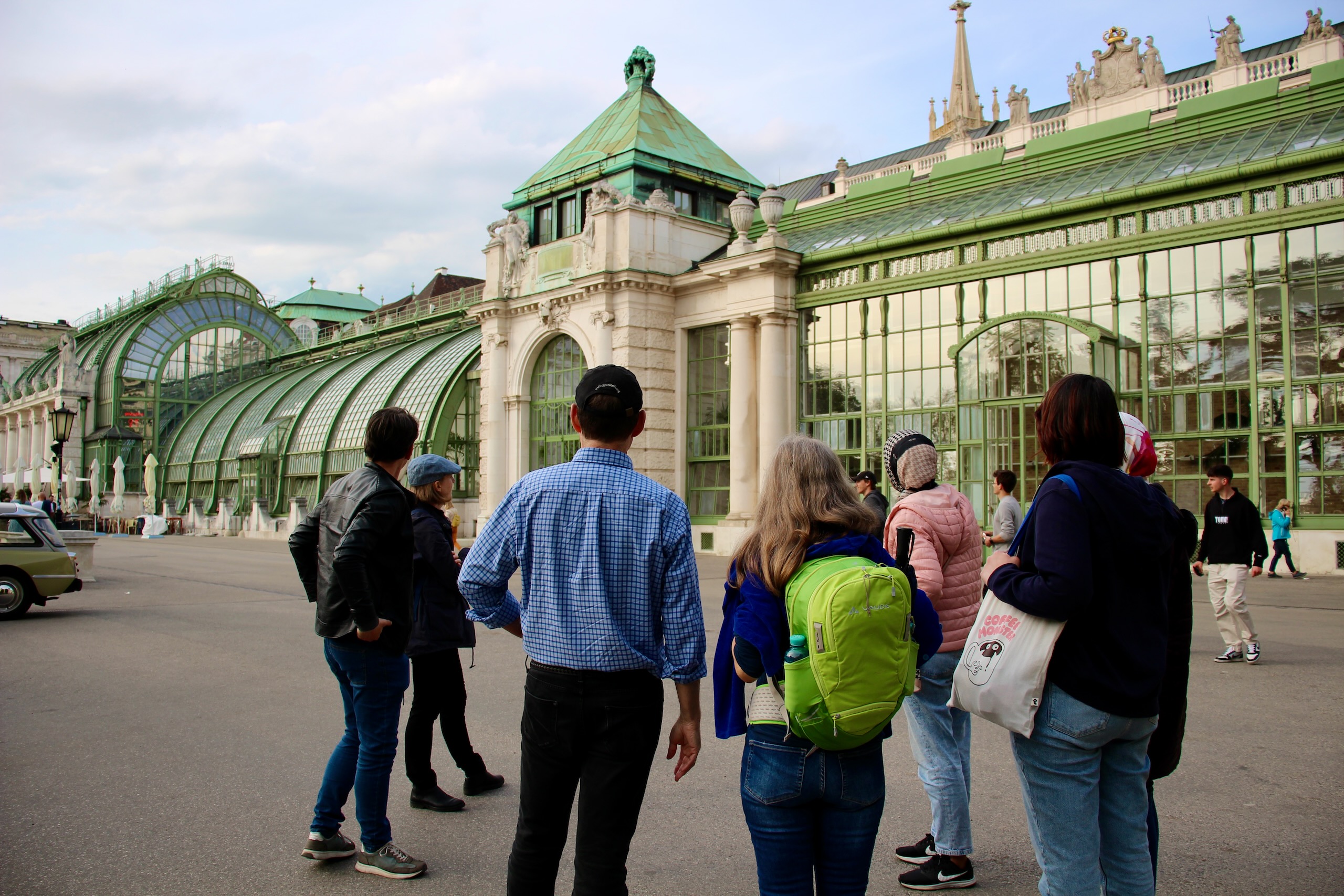
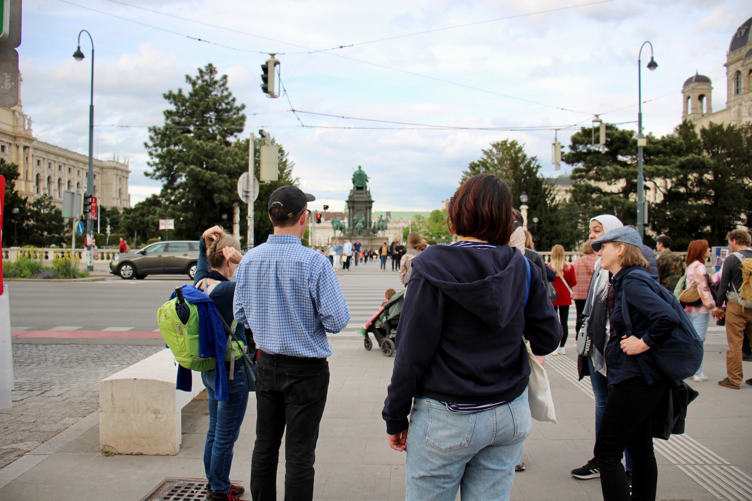
On this walk we’ll see examples of auto-oriented planning and new ideas for more sustainable transport planning in Vienna. We’ll talk about the impacts of auto-focused transport plans and technology, and how to create a more human-friendly transport network that supports a more sustainable and economically successful Vienna.
Route: Stephansplatz (Rotenturmstraße/Brandstätte), Kärntnerstraße, Neuer Markt, Burggarten, Ringstraße (Opernring), Mariahilferstraße, Museumplatz (Zweierlinie), Bellariastraße/Museumsplatz, Burggasse, Spittelberg, Ruth-Klüger-Platz, Neubaugasse, Zieglergasse, Kandlgasse, Gürtel, Vogelweidpark, Kriemhildplatz
Fotos (zum Vergrößern anklicken)


Fotograf: Andreas Lindinger
Fotocredit: Jane’s Walk Vienna // janeswalk.at